Photogrammetry is extremely beneficial for many types of projects. It can be used to create 3D maps of cities, towns, natural landscapes, and bodies of water. Scientists can use those models to run natural disaster, climate, and even war simulations.
It can also be used for architectural and engineering purposes, creating 3D models of large-scale creations like buildings, bridges, cell towers, sky-ways, etc. This way, architects can measure and calculate their product without having to risk their safety and be there in person.
Additionally, photogrammetry can be used to 3D model ancient artifacts, artwork, and handcrafts. This allows art to be much more accessible to the world by reducing the need for people to go to a museum to view an object. With photogrammetry, they can view it right on their computer or phone.
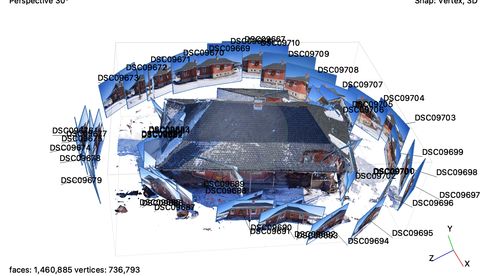
Photogrammetry has never been easier than it is right now. Before, this process was only reserved for experts and professionals in the field. Currently, anybody can use photos to create 3D models. The fact that phones nowadays have such capable cameras makes photogrammetry extremely accessible. Also, the increase consumerism of drones allows anybody to create aerial photogrammetric models. My 3D model of the Northfield Depot is a proof of concept and demo of what photogrammetry is capable of.
